Event Series NOAA CoastWatch Satellite Course

CoastWatch Training on Satellite Data for Sea Grant & Partners

The goal of the course is to familiarize NOAA/university researchers, Sea Grant professionals and agency/organization partners with different types of ocean satellite data, different tools, and teach participants how to use satellite data in their own research/outreach using their choice of software (R, python, ArcGIS/QGIS, Matlab). To attend the course, register at https://bit.ly/NOAACoastWatchSatelliteCourse. The course […]

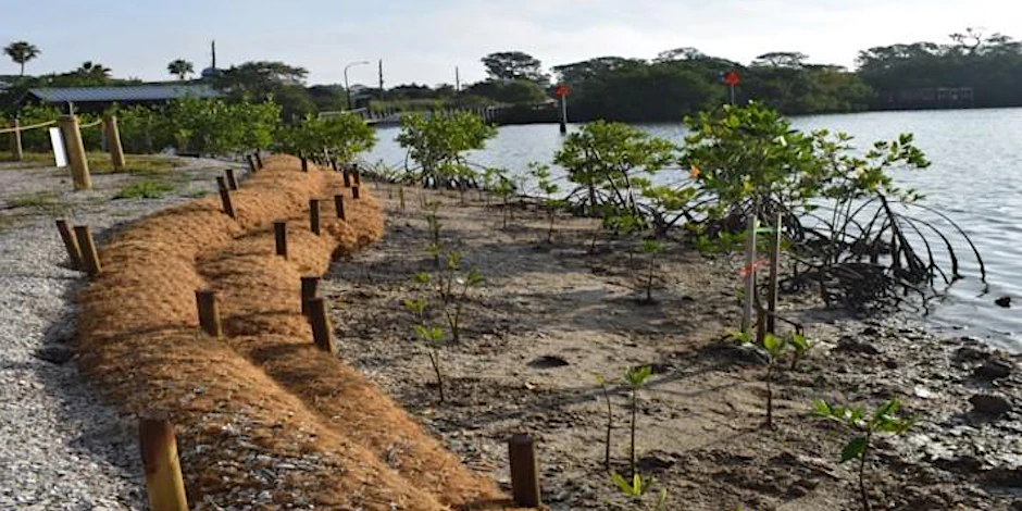
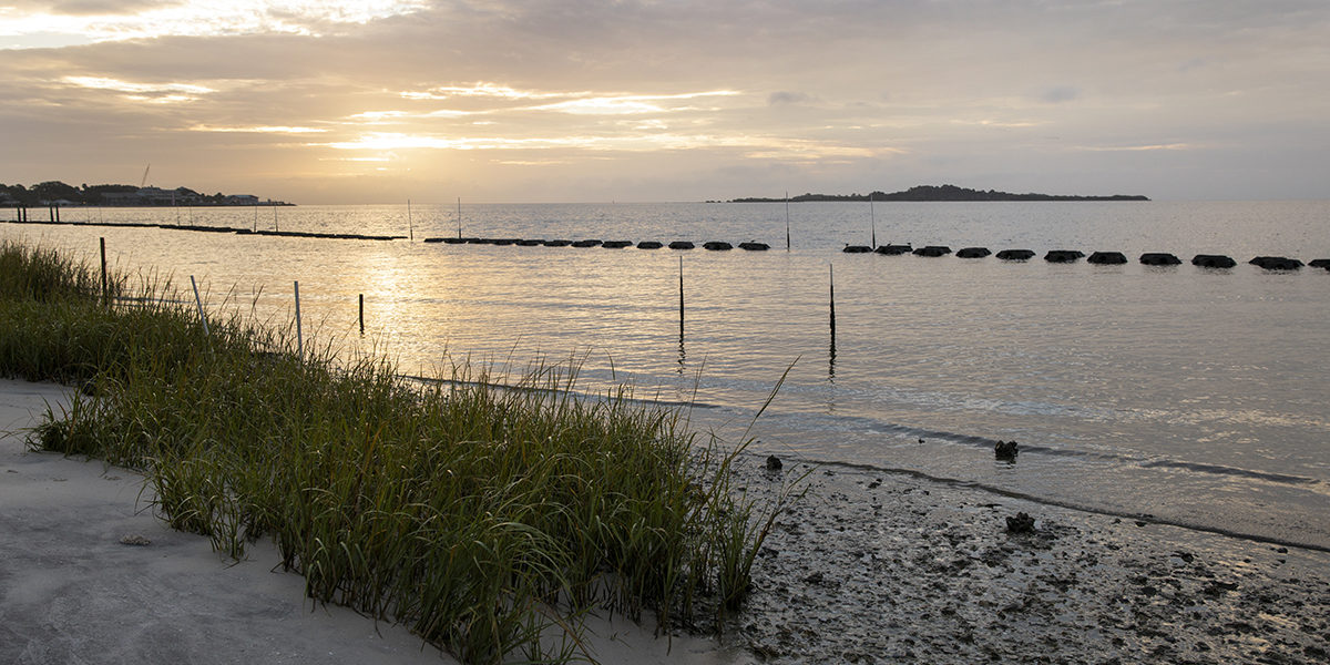
Living Shoreline Course (North Indian River Lagoon Region)

This 2-day course (8:30am to 4:30pm each day) is designed for those looking to gain in-depth knowledge of the process of installing living shorelines (LSL). Marine contractors, landscape architects, property owners, and anyone interested in promoting living shorelines will gain valuable hands-on information. Topics covered range from the benefits of installing a living shoreline to permit applications and include a field visit to a living shoreline site. Site visit(s) are yet to be confirmed and every attempt will be made to locate them within a 30-minute drive of the classroom location.

Event Series NOAA CoastWatch Satellite Course

CoastWatch Training on Satellite Data for Sea Grant & Partners

The goal of the course is to familiarize NOAA/university researchers, Sea Grant professionals and agency/organization partners with different types of ocean satellite data, different tools, and teach participants how to use satellite data in their own research/outreach using their choice of software (R, python, ArcGIS/QGIS, Matlab). To attend the course, register at https://bit.ly/NOAACoastWatchSatelliteCourse. The course […]

2022 Southwest Florida Artificial Reef Workshop (Palmetto)

UF/IFAS Manatee County Extension Office 1303 17th St W, Palmetto, FL, United States

FWC and UF/IFAS Florida Sea Grant are thrilled to be back in person for the 2022 Southwest Florida Regional Artificial Reef Workshop on Wednesday, March 8, in Palmetto, Florida. These workshops aim to bring together artificial reef coordinators, managers, researchers, industry experts and other interested stakeholders to discuss new research, provide regional updates for Florida’s […]

$20